




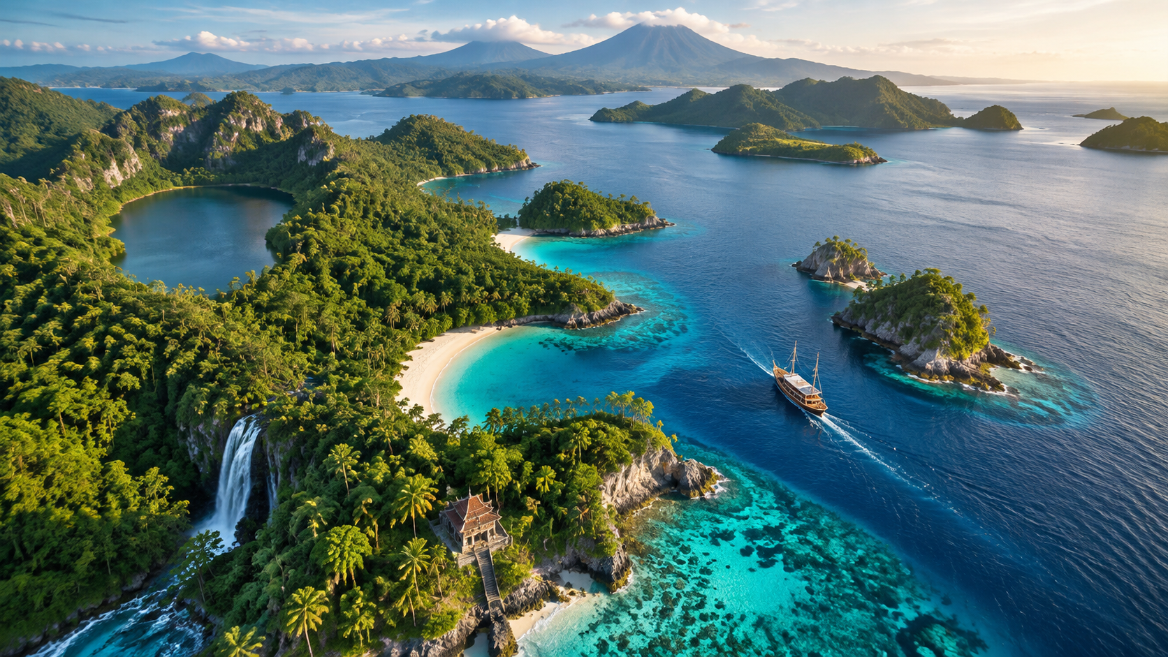
 Hidden Gems
A Smarter Spatial Strategy for Archipelago Travel
Indonesia spans over seventeen thousand islands and stretches across three time zones. Navigating this vast equatorial area requires a structured geographical approach to avoid logistical exhaustion. To plan a successful journey through this vast region, travelers can use a comprehensive guide like Explore Indonesia by Map: Top Destinations & Hidden Gems.
This spatial approach allows adventurers to cluster regional highlights and get the most out of their limited travel windows. This guide is designed to help you Explore Indonesia by Map: Top Destinations & Hidden Gems while avoiding common logistical pitfalls.
By understanding the distinct island groups, you can design an efficient itinerary. This balances famous attractions with untouched wilderness.
The Western Gateway: Mapping Java and Sumatra
Java serves as the cultural and economic spine of the nation, housing the historic capital of Jakarta and active volcanic terrains. Travelers typically begin their journey in Jakarta before heading east toward Yogyakarta to view ancient temple complexes.
You can easily navigate this route using the extensive rail network connecting major cities across the island. This train system offers a scenic look at the countryside.
Sumatra offers a rugged alternative filled with dense rainforests and unique wildlife populations. The northern province of Aceh and the expansive Lake Toba represent key anchor points on any western itinerary.
If you want to Explore Indonesia by Map: Top Destinations & Hidden Gems, starting with Java and Sumatra provides a perfect introduction to the country’s diverse terrains.
- Yogyakarta Cultural Hub: This historic city in south-central Java serves as the prime base for visiting ancient temples and royal palaces.
- Mount Bromo: An active volcano in East Java famous for sunrise views over a vast sand sea.
- Mount Leuser National Park: A vital sanctuary in Sumatra where visitors can observe highly endangered orangutans in the wild.
The Central Corridor: Bali, Lombok, and the Komodo Archipelago
Bali remains the most popular destination in the country, but its surrounding islands offer equally spectacular vistas with fewer crowds. East of Bali lies Lombok, featuring the massive Mount Rinjani and pristine white-sand beaches.
Ferries and speedboats connect these islands daily. This setup makes multi-island transit simple and fast.
Further east, the province of East Nusa Tenggara contains the famous Komodo National Park and the volcanic island of Flores. This region requires careful planning due to limited flight schedules and rugged terrain.
It becomes much easier to Explore Indonesia by Map: Top Destinations & Hidden Gems when you understand how these islands connect via regional ferry networks.
- Padar Island: A famous viewpoint in Komodo National Park offering a sweeping look at three colored beaches.
- Kelimutu Lakes: Three volcanic crater lakes in Flores that change color unpredictably due to chemical reactions.
- Gili Islands: Three tiny islands off Lombok that ban motorized vehicles to preserve a quiet atmosphere.
The Eastern Frontier: Mapping Sulawesi, Maluku, and Raja Ampat
Sulawesi features an unusual four-legged shape that houses unique cultures and premier diving sites. The southern region of Tana Toraja is famous for its elaborate funeral rites and traditional boat-shaped houses.
Diving enthusiasts head north to Bunaken and the Lembeh Strait to observe rare marine species. These waters host some of the strangest creatures in the sea.
Raja Ampat lies at the far eastern edge of the country in Southwest Papua. This remote region holds the highest marine biodiversity on Earth, containing over one thousand species of reef fish.
To navigate this isolated paradise, you must Explore Indonesia by Map: Top Destinations & Hidden Gems, focusing on regional transit hubs.
- Tana Toraja: A mountainous region in South Sulawesi known for its unique architectural heritage.
- Raja Ampat Archipelago: A collection of over fifteen hundred small islands surrounding four main mountainous landmasses.
- Banda Islands: A historic island group in Maluku once sought after as the sole source of nutmeg.
Useful Strategies for Your Journey
Structuring your itinerary geographically saves hundreds of dollars in domestic flights and boat transfers. Travelers should divide the country into distinct zones and focus on one or two regions per trip.
A standard two-week vacation is only sufficient to cover a single major island group thoroughly. Trying to do more leads to exhausted travel days.
Using digital mapping tools offline is important because cellular service remains unreliable in remote areas. Download offline maps of your target regions before leaving major municipal hubs.
This preparation guarantees you can navigate remote roads in Flores. It also helps you find hidden beaches in Lombok without a live cellular connection.
When you prepare to Explore Indonesia by Map: Top Destinations & Hidden Gems, focusing on regional hubs like Bali, Makassar, and Medan is highly useful. These cities offer the most consistent flight connections to smaller regional airstrips.
This approach minimizes layovers. It also keeps your travel schedule highly predictable.
Selecting Your Ideal Regional Route
To truly appreciate the diversity of the country, travelers must compare the accessibility and primary attractions of each region. Some areas cater to luxury seekers, while others demand a rugged backpacking mindset.
To help you plan, we have detailed these regional variations in a structured format below.
Choosing the right base of operations determines the overall pace of your journey. Bali offers immediate comfort and high-speed internet, but Raja Ampat rewards visitors with pristine nature far from modern distractions.
This comparison helps you Explore Indonesia by Map: Top Destinations & Hidden Gems according to your personal travel style.
| Region | Primary Appeal | Accessibility | Best For |
|---|---|---|---|
| Java & Sumatra | Culture & Volcanoes | High (Rail & Flights) | First-time adventurers |
| Bali & Lombok | Beaches & Wellness | Excellent (Direct Flights) | Relaxation & Island hopping |
| Sulawesi & Raja Ampat | Marine Life & Culture | Moderate to Low (Boats) | Divers & Off-the-beaten-path explorers |
Mastering the Indonesian Archipelago
Navigating this diverse nation requires a balance of careful planning and spontaneous exploration. By using geographic mapping strategies, you can avoid common logistical pitfalls.
This allows you to experience both famous sites and secret sanctuaries. Keep these key takeaways in mind for your upcoming 2026 adventure.
- Focus on one regional zone per two-week trip to avoid travel burnout.
- Download comprehensive offline maps before traveling into remote eastern islands.
- Use regional transport hubs to secure cheaper and more reliable domestic flights.
Armed with these spatial strategies, you are ready to Explore Indonesia by Map: Top Destinations & Hidden Gems. The vast archipelago awaits your discovery.


Comments are closed